


lac blanc

PatriceCocuaud
User

Length
24 km

Max alt
1238 m

Uphill gradient
358 m
Km-Effort
29 km

Min alt
1137 m

Downhill gradient
358 m
Boucle
Yes
Creation date :
2023-01-27 11:43:53.377
Updated on :
2023-01-27 14:03:53.037
2h10
Difficulty : Medium

FREE GPS app for hiking
 SityTrail
IGN / Geographical institutes
SityTrail Plus
The world is yours!
About
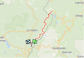
Trail Cross-country skiing of 24 km to be discovered at Grand Est, Vosges, Le Valtin. This trail is proposed by PatriceCocuaud.
Positioning
Country:
France
Region :
Grand Est
Department/Province :
Vosges
Municipality :
Le Valtin
Location:
Unknown
Start:(Dec)
Start:(UTM)
352660 ; 5325499 (32U) N.
Comments